Maps of Nineteenth-Century India
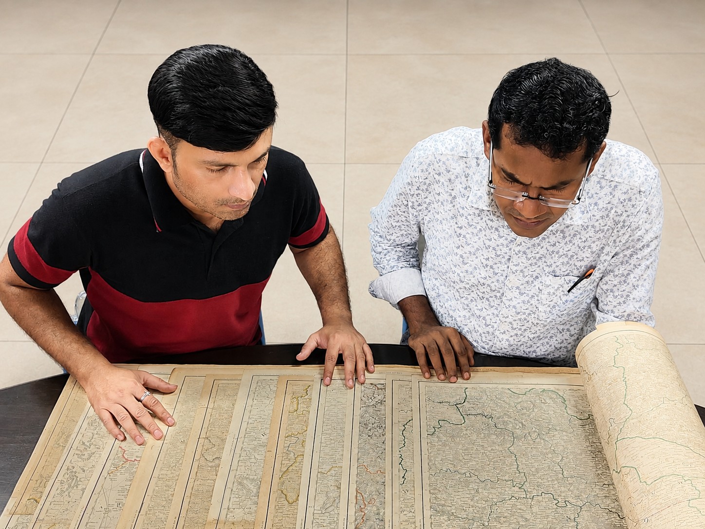
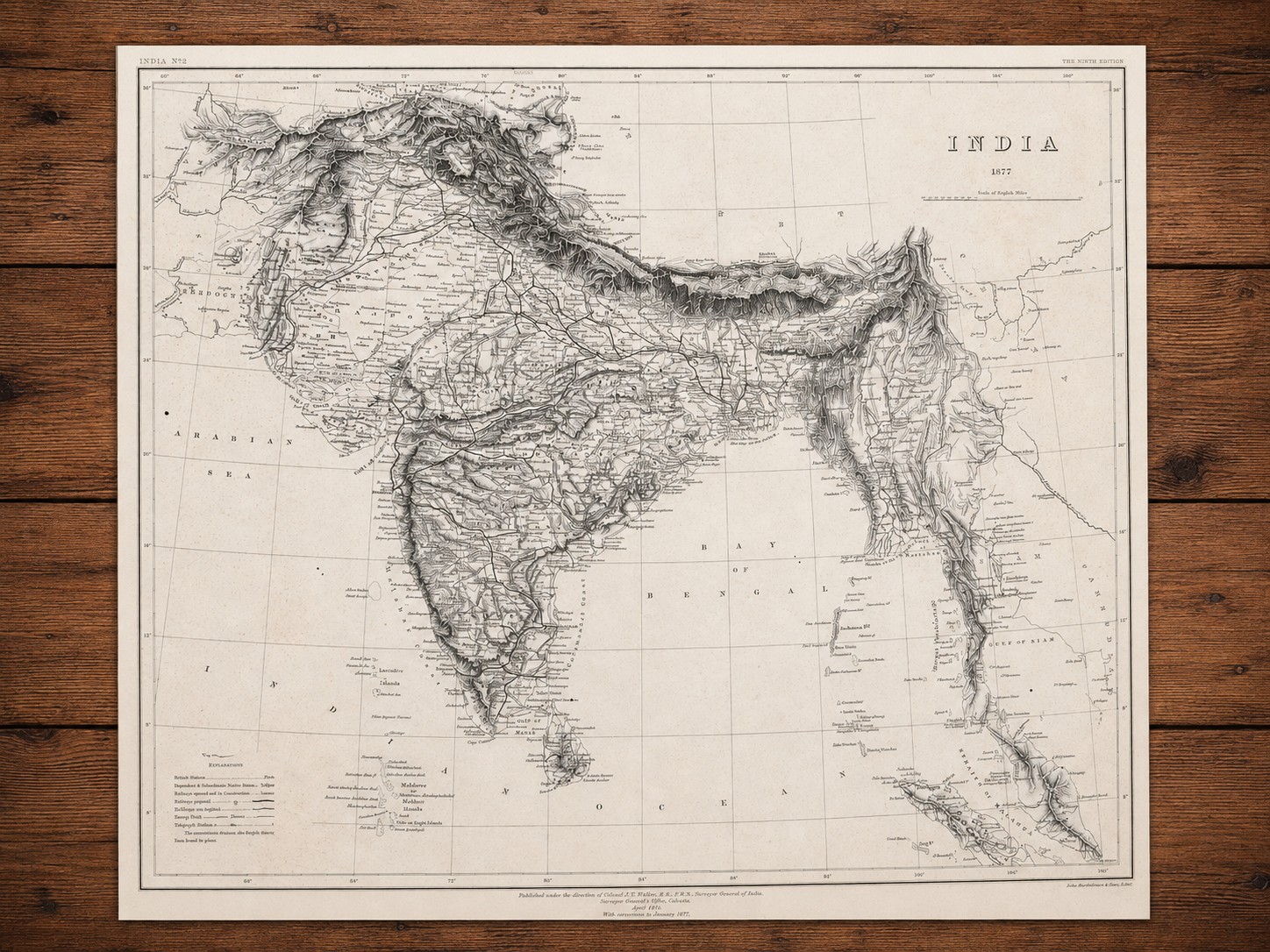
A selection of rare historical maps from the collections of the Goethals Indian Library & Research Society, preserving the geographical, political, and cultural landscapes of the Indian subcontinent as represented by leading nineteenth-century cartographers.
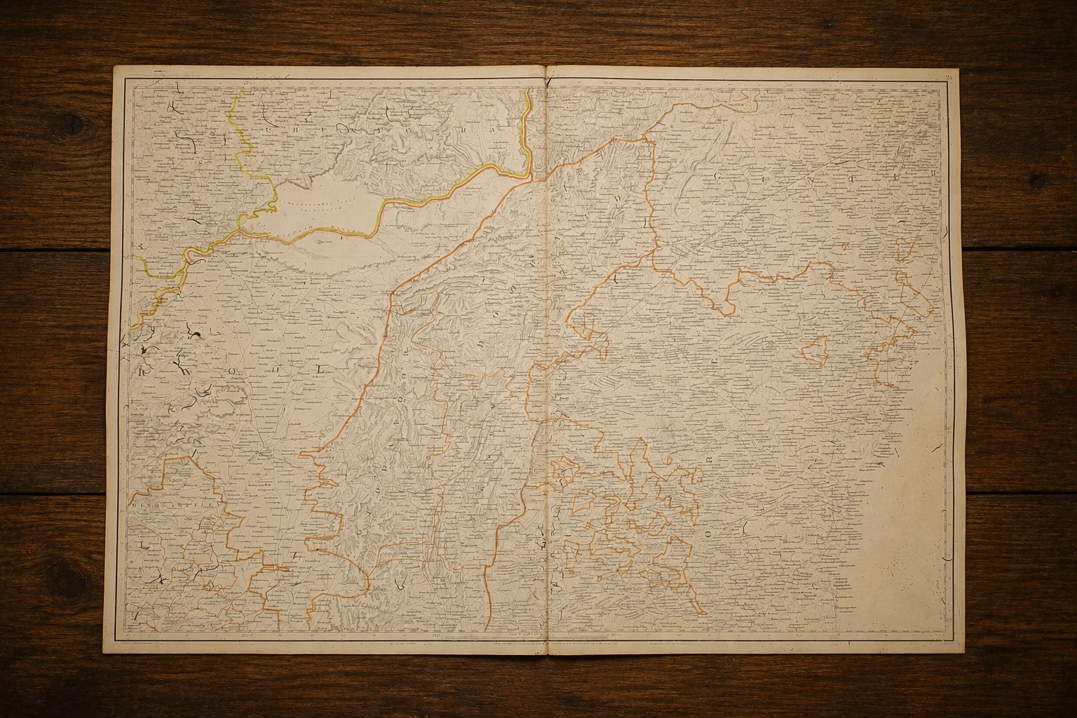
District of Chingleput and Parts of North Arcot and Salem and Kolar. Published in 1828.
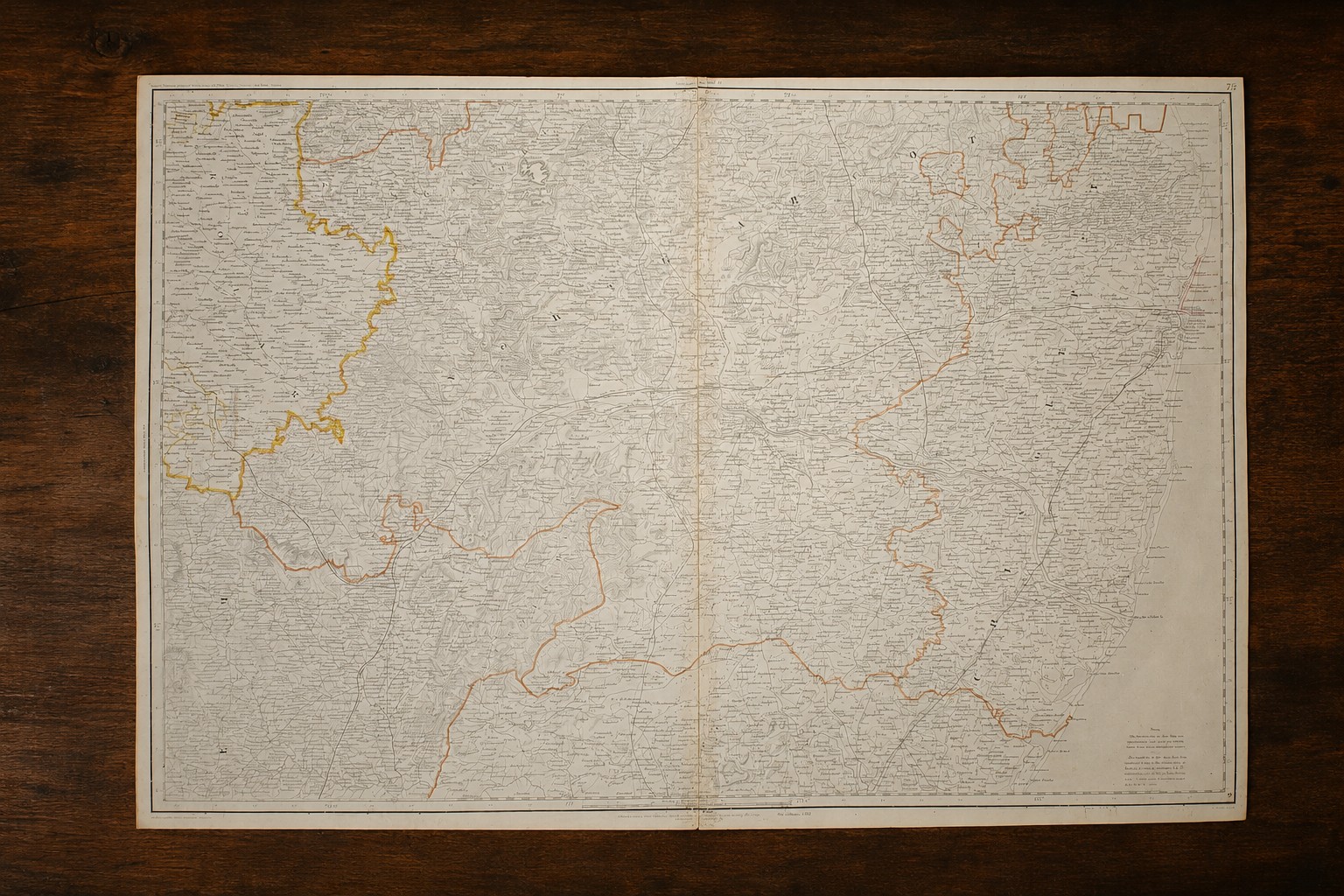
Parts of districts Kurnool, Guntur and Cuddapah (Madras). Published in 1829.
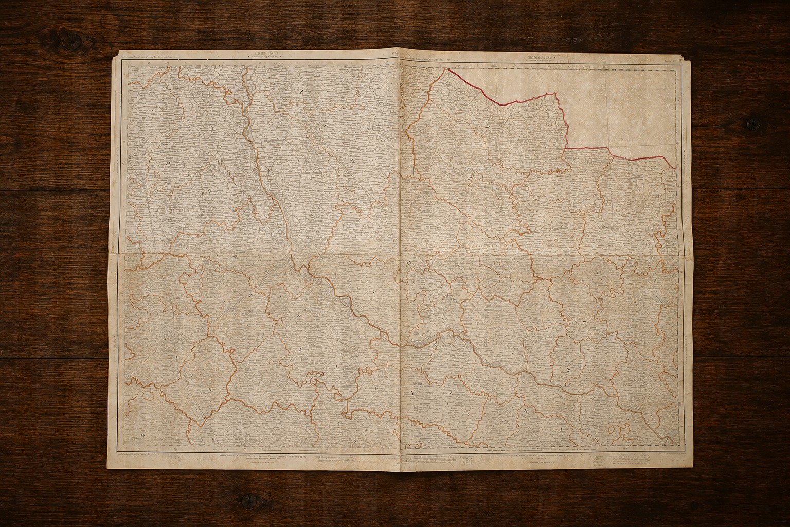
Parts of Districts Kheri, Bahraich, and Sitapur, Bara Banki and Gonda (Oudh). Published in 1870.
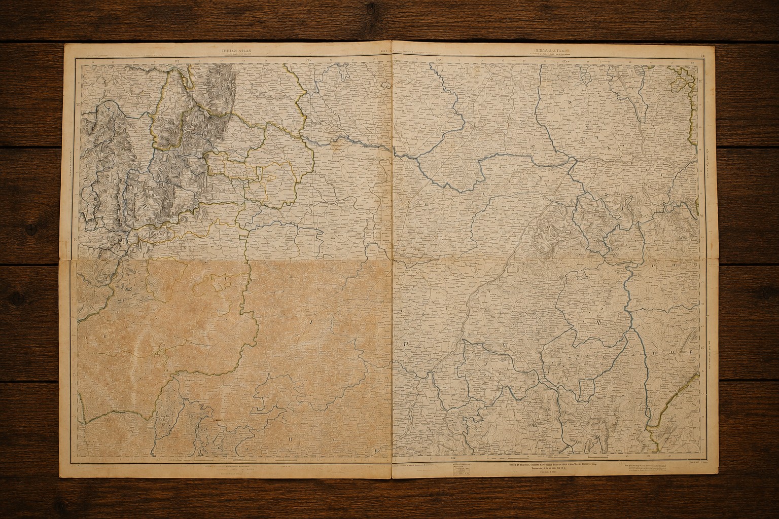
Parts of Districts of Bilaspur, Balaghat & Raipur, and Native States of Kawarda, Chhuikhadan, Nandgaon and Khairagarh (Central Province). Published in 1877.
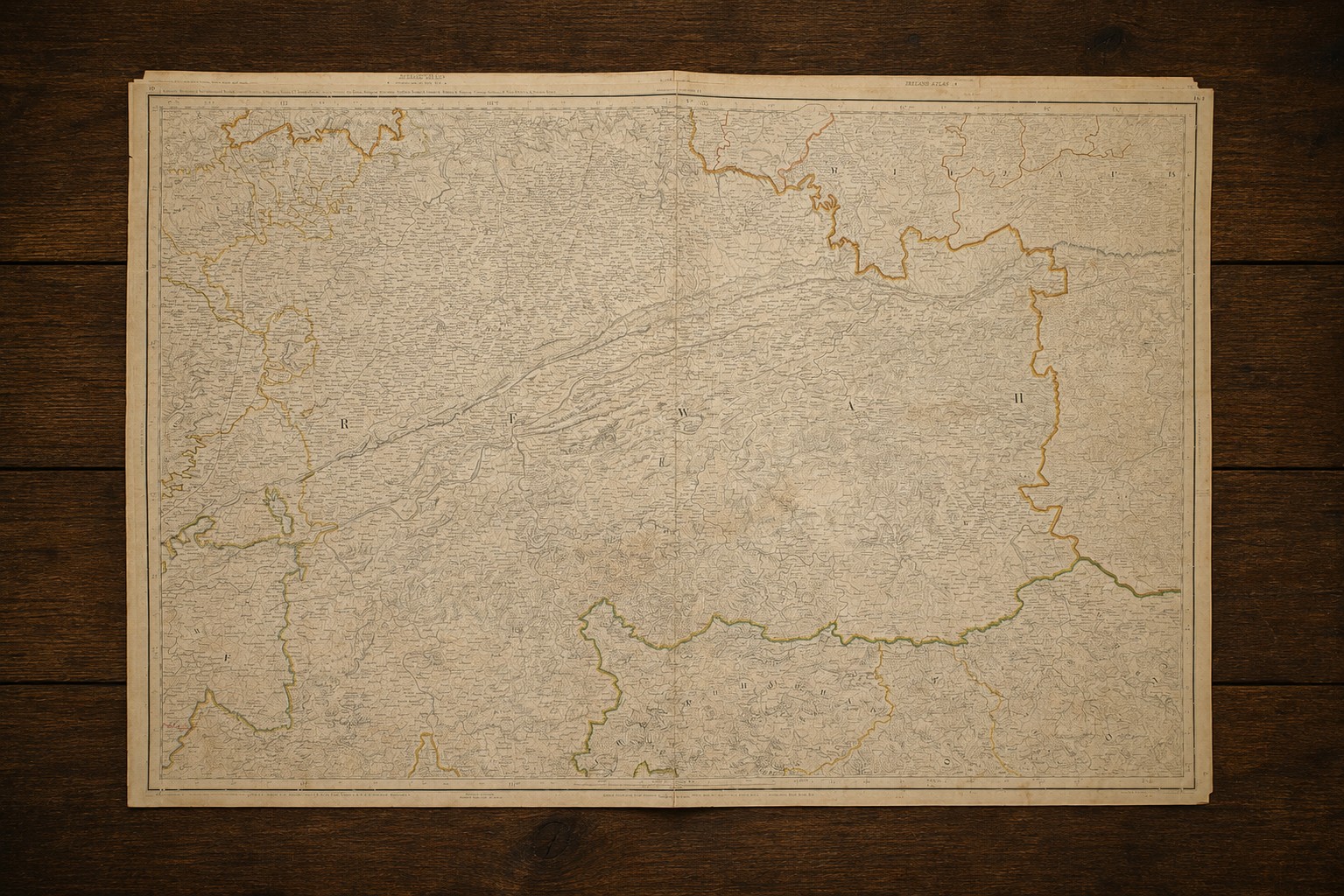
Parts of Districts Mirzapur & Jubbulpore, Rewah (Native State). Surguja, Korea, Chang Bhakhar, and Changar (States) of the Chota Nagpur Division. Maihar, Nagode, Sohawal, Kotree, & Panna (Native States) of Bundelkhand & District Banda. Published in 1879.
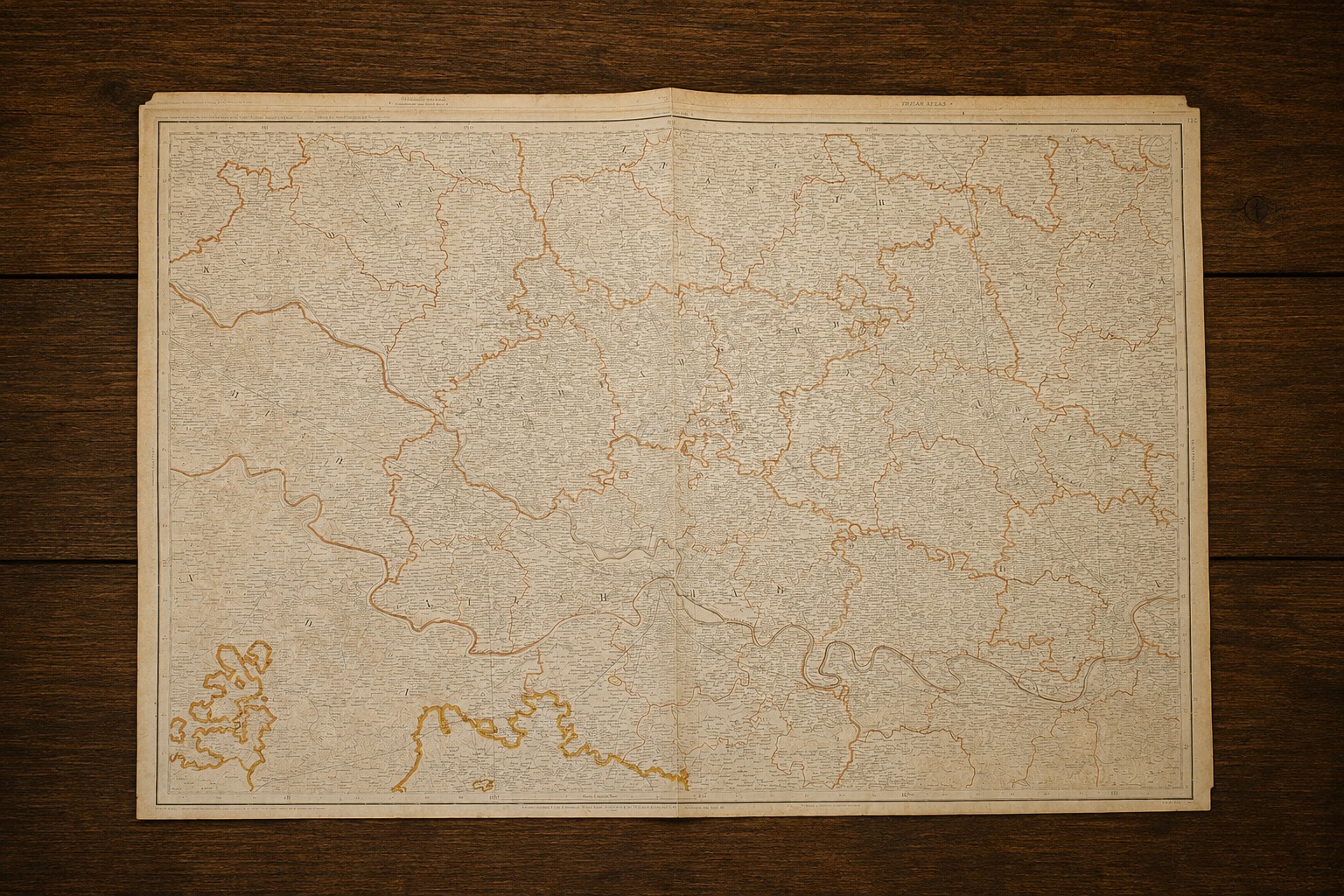
Districts Jaunpur and Parts of Districts Allahabad, Azamgarh, Benares, Fatehpur, Mirzapur and Banda. Published in 1896.
The Goethals Indian Library & Research Society (GILRS) preserves an exceptional collection of rare historical maps that illuminate the geographical imagination, political landscapes, and cartographic knowledge of different regions and countries of the world, many of whose political boundaries have been drawn and redrawn repeatedly over the centuries.
Among the treasures preserved in the GILRS is an outstanding collection of nineteenth-century maps of the Indian subcontinent. Produced by some of the foremost European cartographers and surveyors of their age, these maps are far more than geographical records. They are invaluable historical documents that reveal how India was observed, explored, surveyed, administered, and understood in an era of expanding global exploration, commerce, and imperial engagement.
The maps in the GILRS collection are remarkable examples of the artistry and craftsmanship of early cartography. In many cases, every river, mountain range, settlement, trade route, and political boundary was painstakingly engraved by hand, while subtle hand colouring distinguished kingdoms, provinces, and administrative divisions. Together, these nineteenth-century maps provide a vivid visual record of the political, administrative, and cultural landscape of the Indian subcontinent during a period of profound historical transformation.
For historians, geographers, archaeologists, and scholars of colonial and South Asian studies, these nineteenth-century maps of India provide indispensable evidence for the study of historical frontiers, urban development, transportation networks, environmental history, and the evolution of regional identities. They also testify to the extraordinary artistry and technical precision that characterised nineteenth-century mapmaking.
Preserved within the Goethals Indian Library & Research Society, this remarkable collection remains available for academic study and research, connecting contemporary scholars with centuries of intellectual and cartographic heritage. By making these maps accessible, the GILRS seeks not only to preserve an important cartographic legacy but also to foster new research into the history, geography, and cultural evolution of the Indian subcontinent.